Twin Peaks: A Gold-Silver Exploration Story in Yavapai County
An exploration property in Arizona's Eureka Mining District, near Bagdad, has drawn small-cap attention for years. What the ground actually holds.
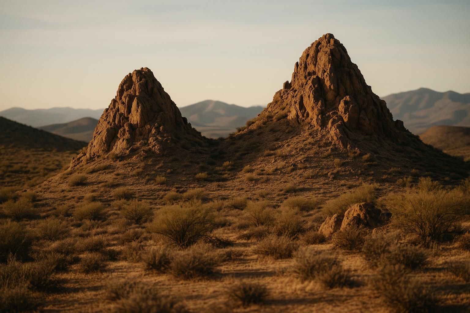
The Twin Peaks gold-silver project sits in a part of Arizona that has produced metal for more than a century. The property lies in the Eureka Mining District of Yavapai County, roughly seven miles southwest of Bagdad, the small company town built around one of Freeport-McMoRan's large porphyry copper mines. That neighbor is the first thing worth noticing. Ground does not become prospective by accident, and a project sitting near a world-class copper system is sitting on the kind of geology that also concentrates gold and silver.
Twin Peaks has drawn small-cap exploration interest for years. On paper it is a large land position: a block of unpatented lode and placer claims covering thousands of acres in a district with a real mining history. That combination, a big footprint in proven country, is exactly what pulls junior explorers and their shareholders toward a story like this. It is also why a reader needs to separate the ground from the promotion around it.
- Location
- Eureka Mining District, Yavapai County, Arizona
- Setting
- About 7 miles southwest of Bagdad, near Freeport-McMoRan's copper operation
- Claim position
- Reported at 276 unpatented lode and placer claims, roughly 5,520 acres
- Target metals
- Gold and silver
- Stage
- Exploration; no declared reserves
Why the Eureka District draws interest
The Eureka District is old mining country. Prospectors worked veins here going back to the 1800s, and the modern draw is the same geology that built the region's copper mines. The Bagdad porphyry system is a reminder that this corner of Yavapai County hosts large, metal-rich intrusive rocks. Around systems like that, hot mineralizing fluids move through fractures and faults and drop gold and silver in veins and altered zones on the margins. Explorers chase those margins.
Proximity is not proof. Being near a producing copper mine does not mean a gold-silver property will ever host an economic deposit. What it does mean is that the regional plumbing is real, and that is why a district with production history keeps attracting drill dollars long after the first rush moves on.
Gold and silver, and the deposit types
Projects like Twin Peaks are usually described in terms of vein and structurally controlled mineralization: gold and silver carried in quartz veins, shear zones, and altered wall rock rather than a single flat blanket of ore. Deposit type matters because it drives everything downstream. A narrow high-grade vein is mined and valued very differently from a broad low-grade bulk target. When an explorer summarizes the geology of a property and names the deposit types it is testing, that is not marketing filler. It is the framework that decides whether any future drilling can add up to a mine.
For gold and silver on the same property, the ratio matters too. A project that is mostly silver with gold credits behaves like a silver story, which means it lives and dies on a more volatile, more industrial metal. Read the metal mix before you read the acreage.
What actually matters for an exploration property
Acreage is the easiest number to promote and the least meaningful on its own. Five thousand acres of claims is a large position, but claims are cheap to stake and say nothing about what is underneath them. The numbers that matter come later and cost more to produce: assay results from channel samples and drill core, the width and grade of any intercepts, and whether those intercepts connect into something continuous enough to model.
Until a property has drill data, it is a geological idea backed by surface work. That is a normal and legitimate stage for a project to be in. The mistake is treating an idea like a resource. A useful habit: when you read about a project like this, note which claims are backed by assays and which are backed by adjectives.
Ground near a great mine is a reason to look, not a reason to buy. The drill decides the rest.
The risks worth naming
Exploration is failure-prone by design. Most properties that get drilled never become mines, and a large claim block does not change those odds. On top of geological risk sits the ordinary risk of the companies that hold this kind of ground: they are small, they raise money by issuing stock, and a shareholder can be diluted heavily between one drill program and the next. Permitting on federal land adds time. A promising target and a working mine are separated by years of study, capital, and regulatory review.
What we are watching
For a property in the Eureka District, the signals that would matter are concrete: verified assay results rather than summaries, a drill program with a stated number of holes and meters actually completed, and a technical report that a reader can check against the claims. Anyone can research the surrounding geology through public tools such as the U.S. Geological Survey's mineral resources data and land records from the Bureau of Land Management. That is the standard we hold a gold-silver exploration story to, and it is the standard Twin Peaks, like any project, has to meet before the acreage means anything.
For how to read the drilling data these projects generate, see our guide to reading a Phase 1 and Phase 2 drill report. For the ownership structures behind properties like this, see joint ventures and earn-ins in junior gold mining.
Related Coverage
Picacho-Salton: Gold on the Edge of the Mesquite District
A cluster of lode and placer claims in Imperial County sits beside one of California's few operating gold mines. Geography is doing a lot of work here.
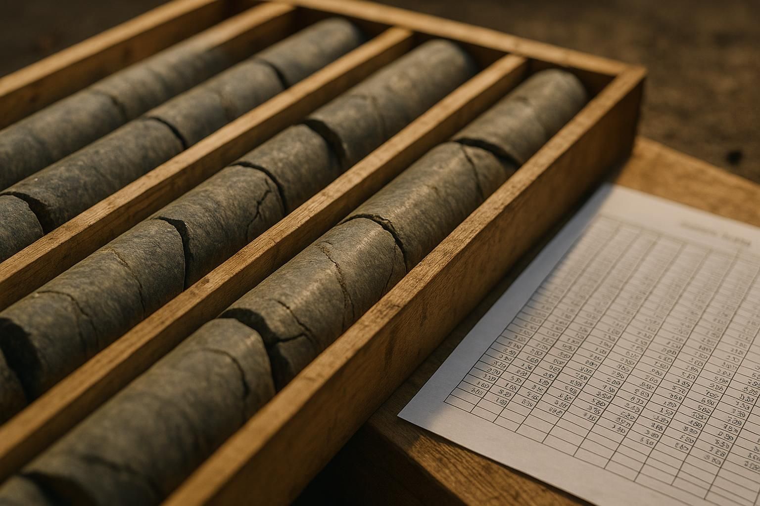
Reading a Phase 1 and Phase 2 Gold Drill Report
Grams per tonne, intercept width, true thickness. A short guide to the numbers a drill program actually produces.
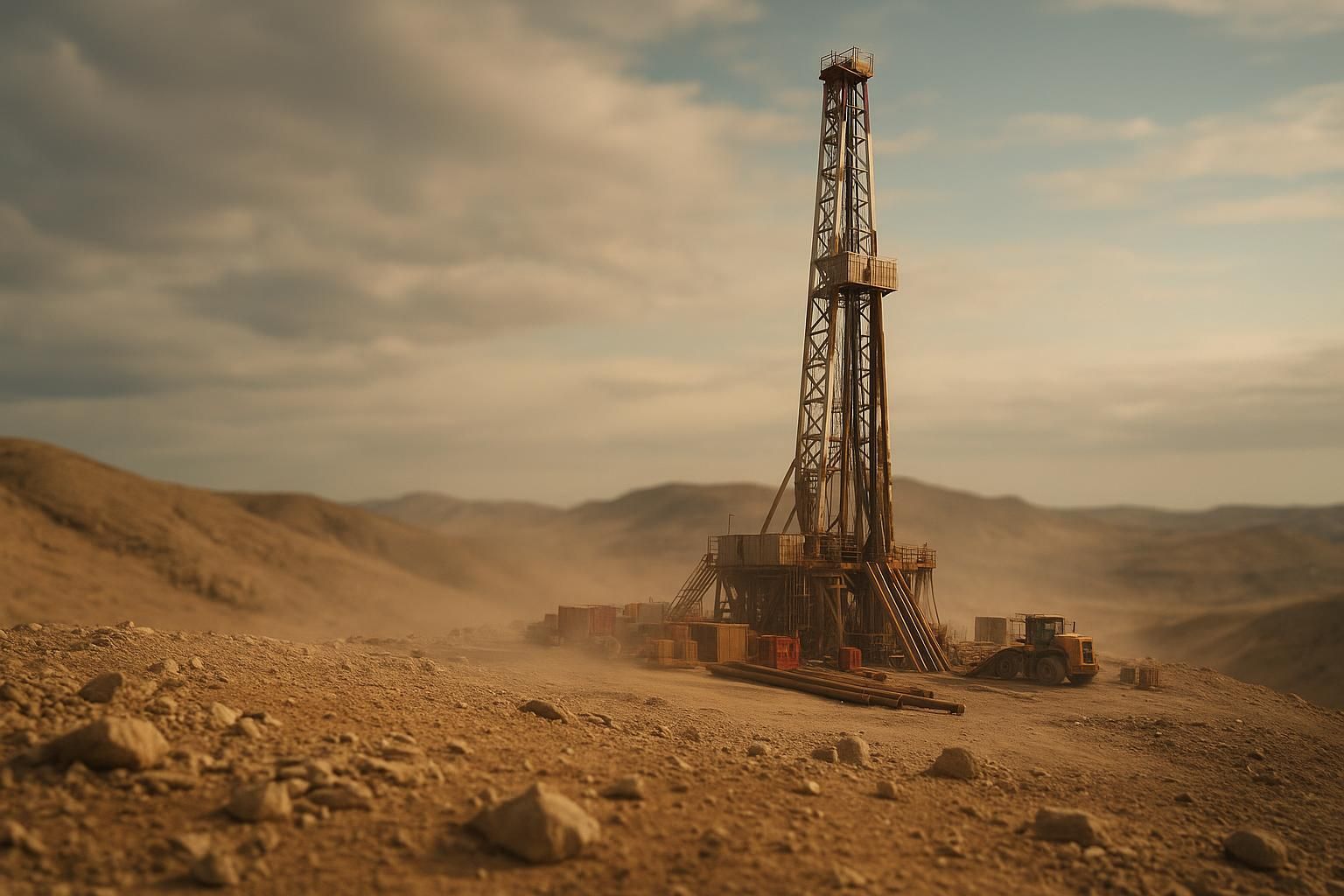
What a Junior Gold Drilling Program Actually Involves
From claim maps to core boxes, a drilling campaign is slower and more expensive than a news release makes it sound.
US Gold Exploration Projects Worth Watching in 2026
A tour of active exploration ground across Nevada, Arizona, and California, and how to judge which stories have substance.